
Camp Branch Historical Trail
Trail: 3.5 miles
Degree of difficulty: Moderate to Difficult
Blaze: Blue
Camp Branch Historic Trail
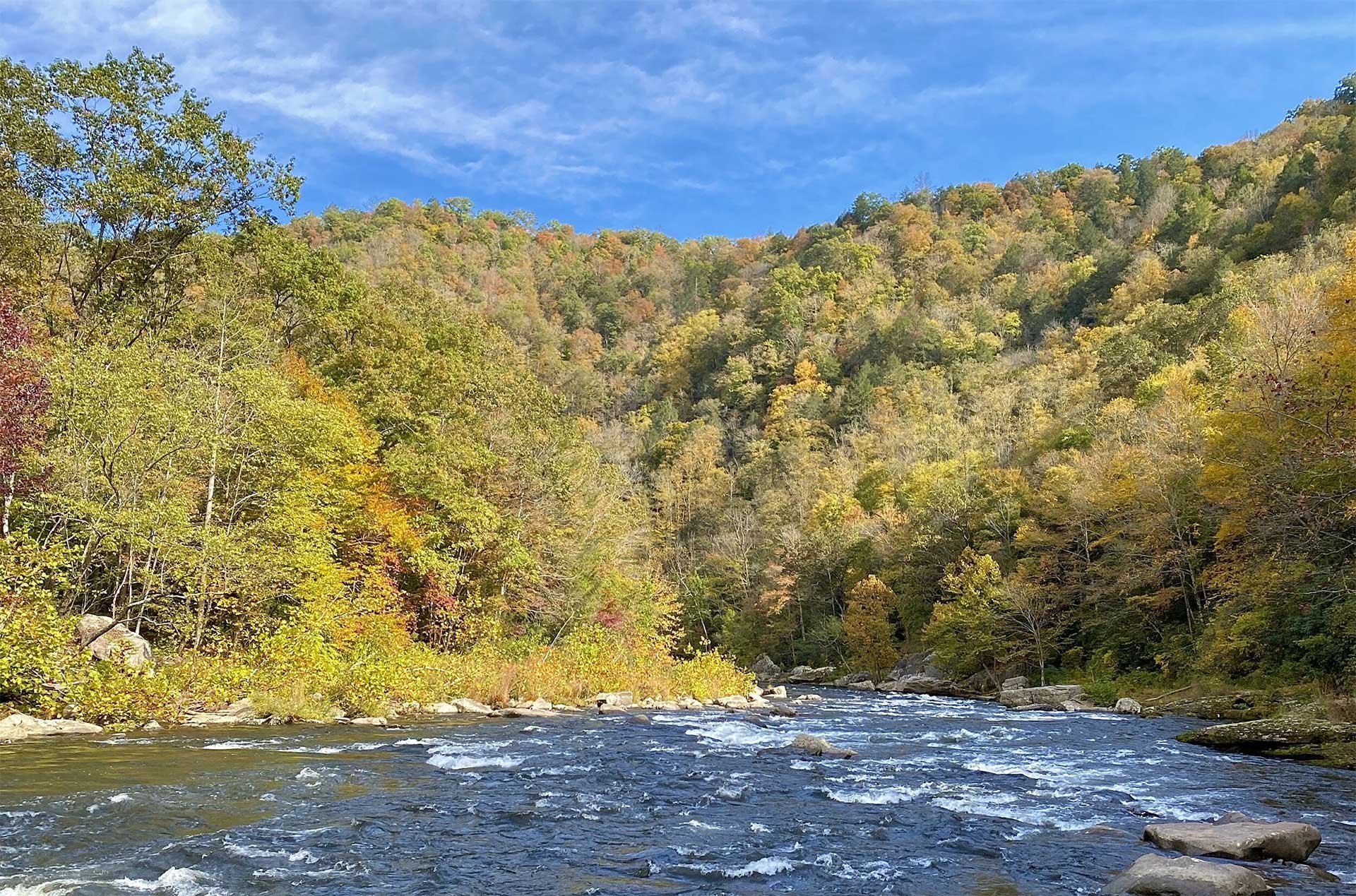
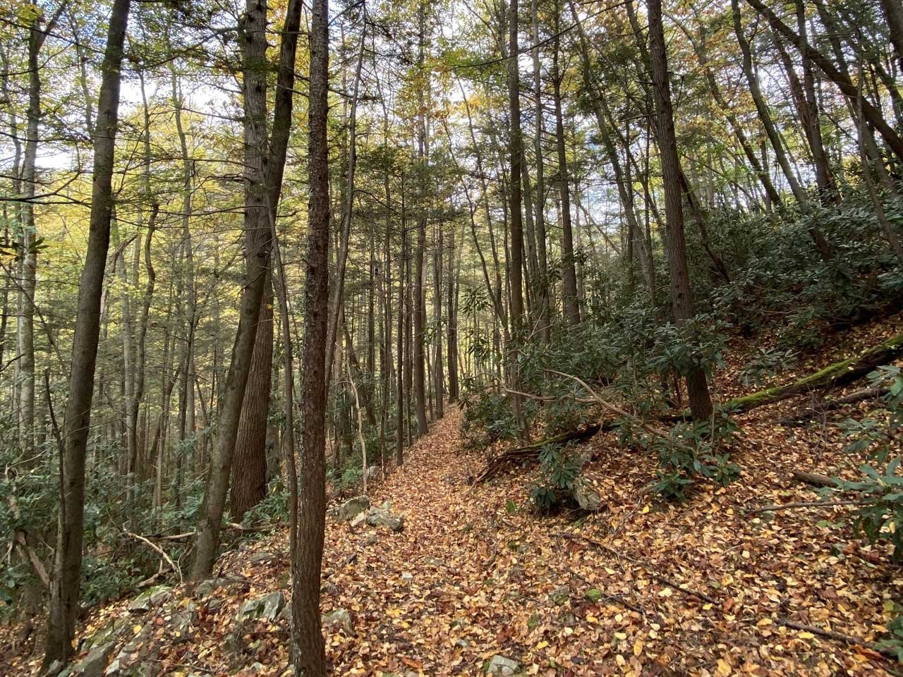
The Camp Branch Historic Trail is a 3.5-mile journey through the rugged Camp Branch Creek drainage in Breaks Interstate Park. This diverse trail is divided into several sections, each offering a unique blend of natural beauty and rich cultural history.
Camp Branch Section
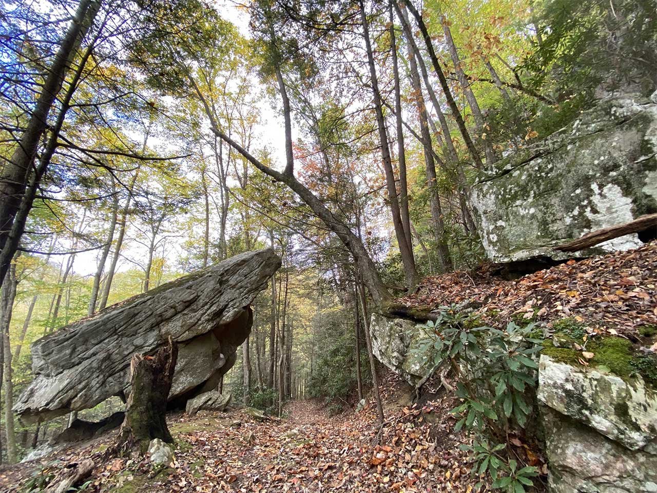
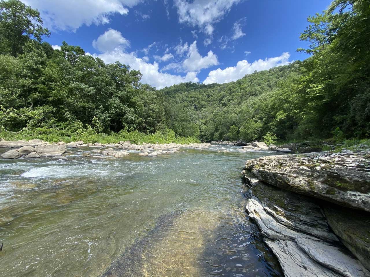
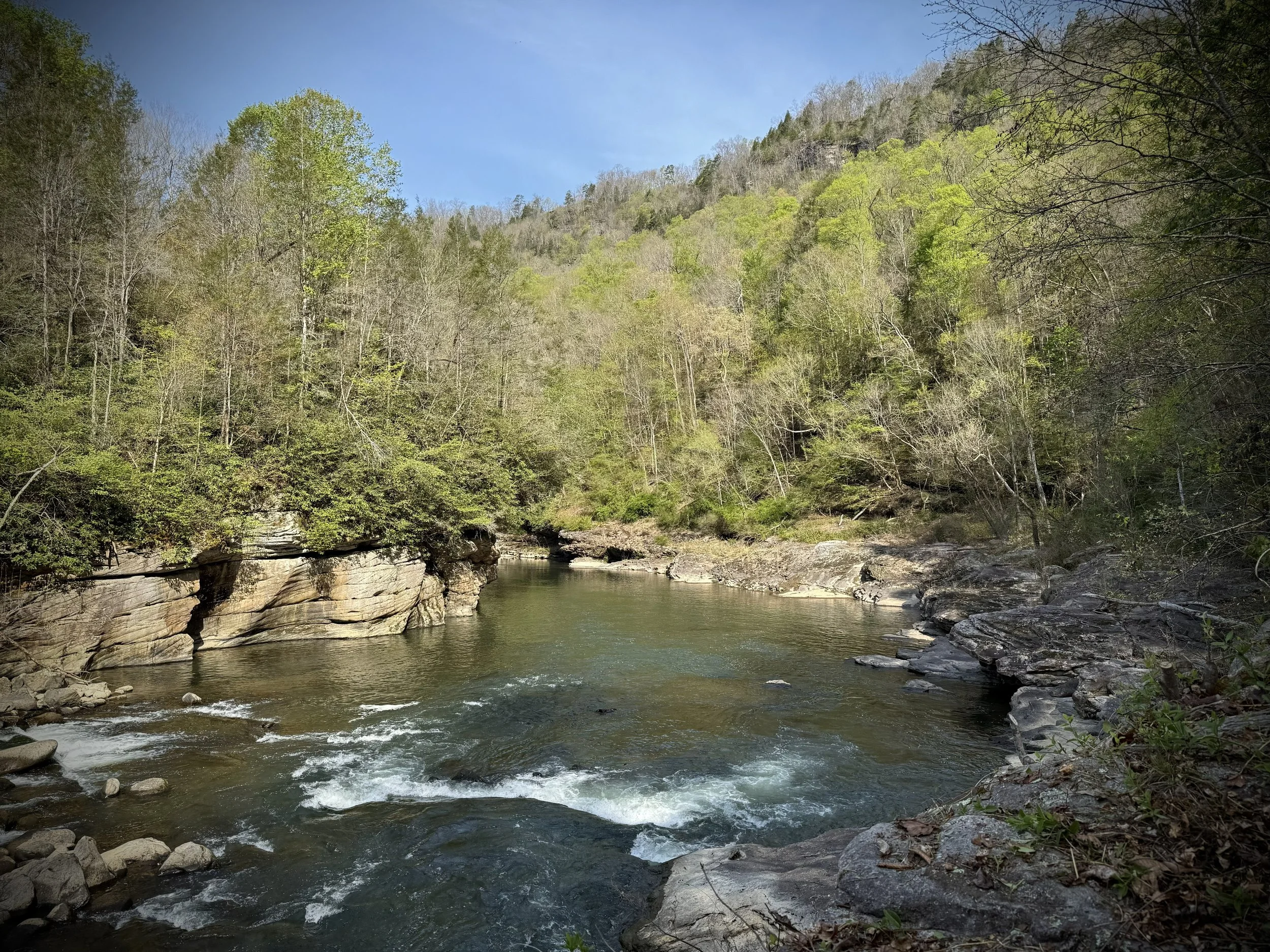
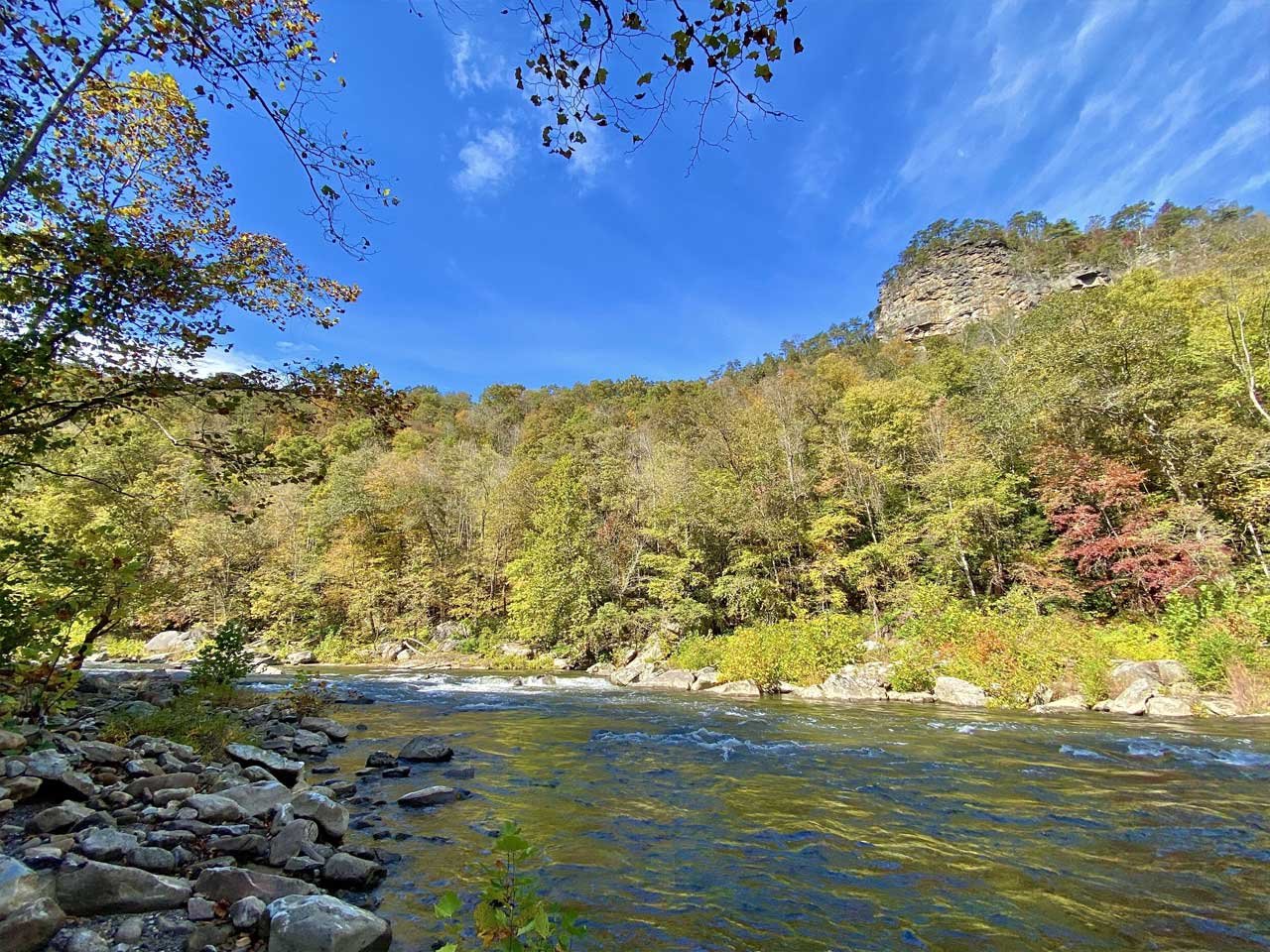
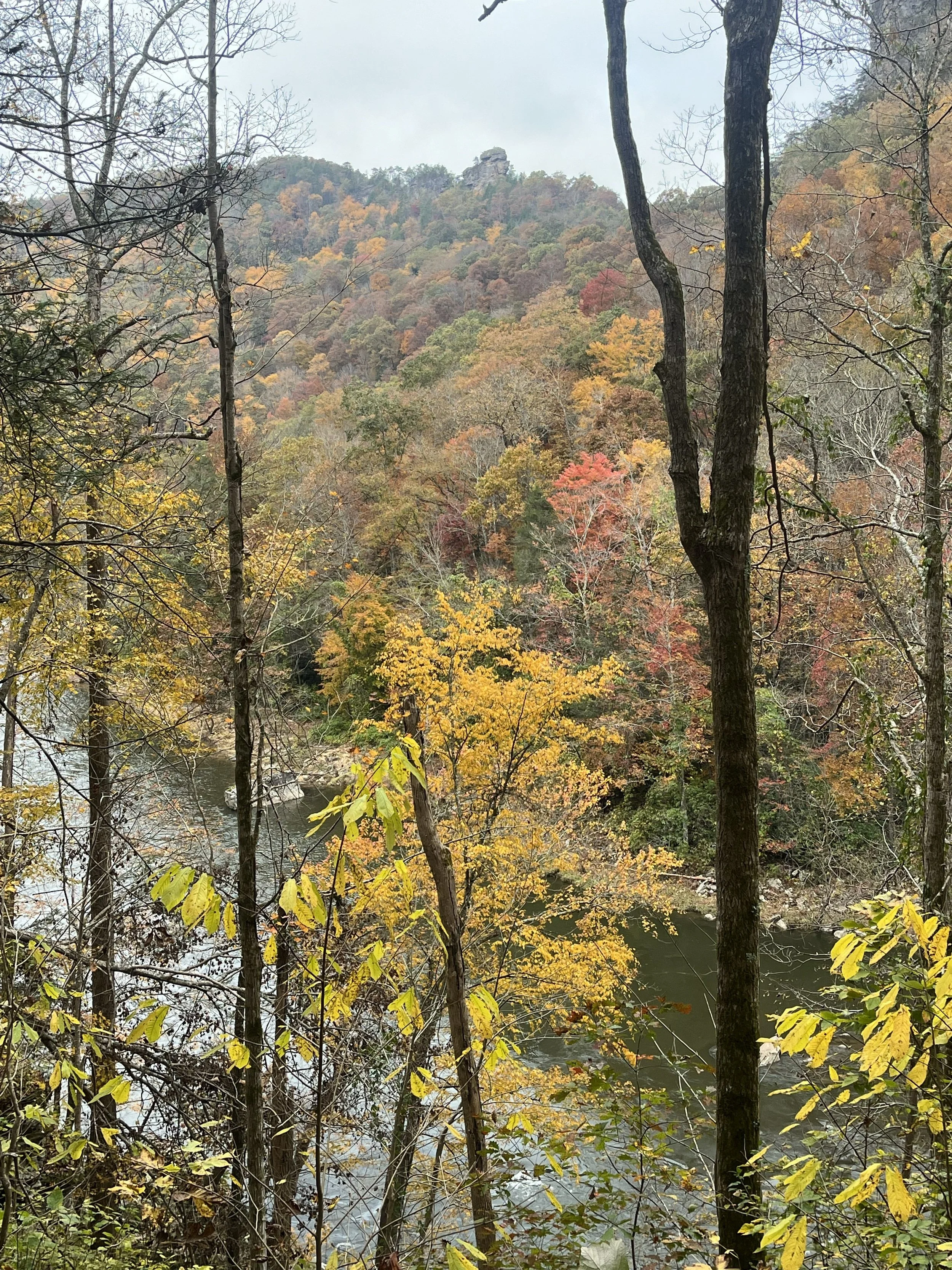
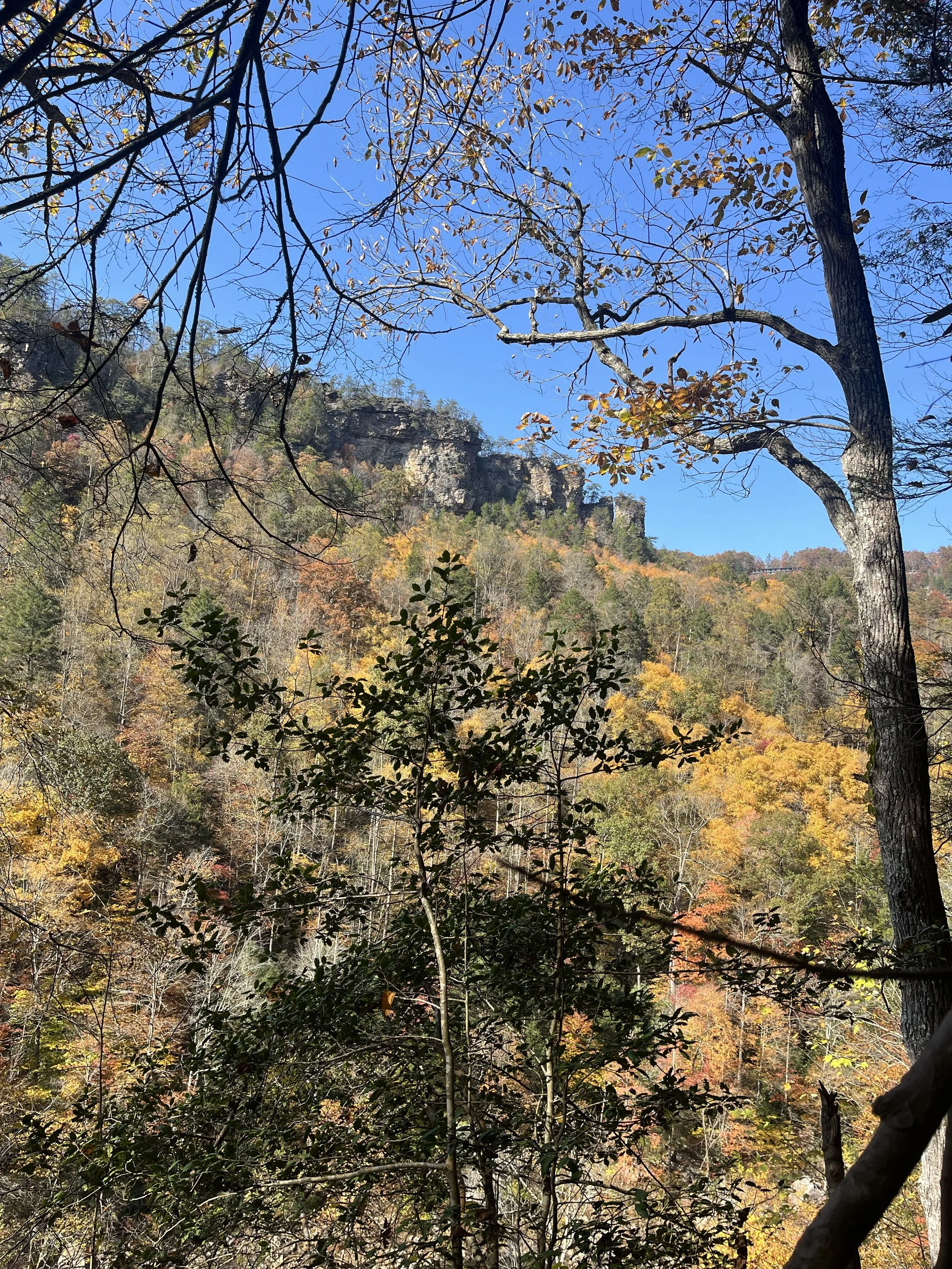
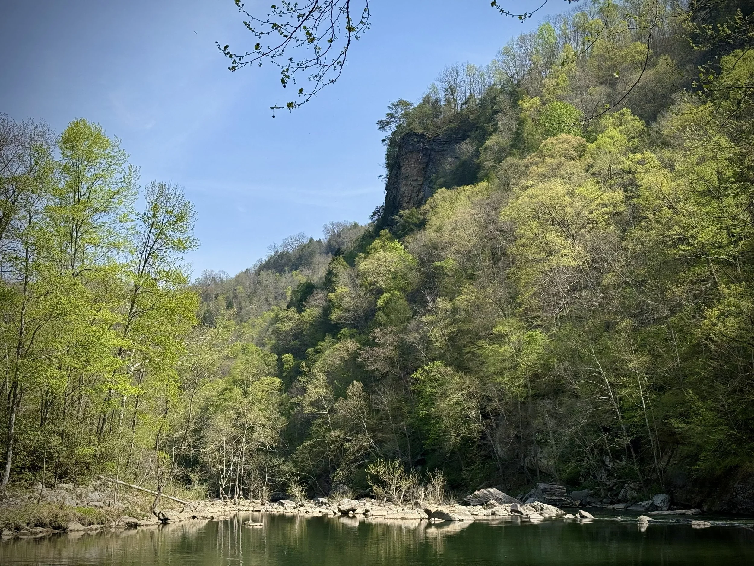
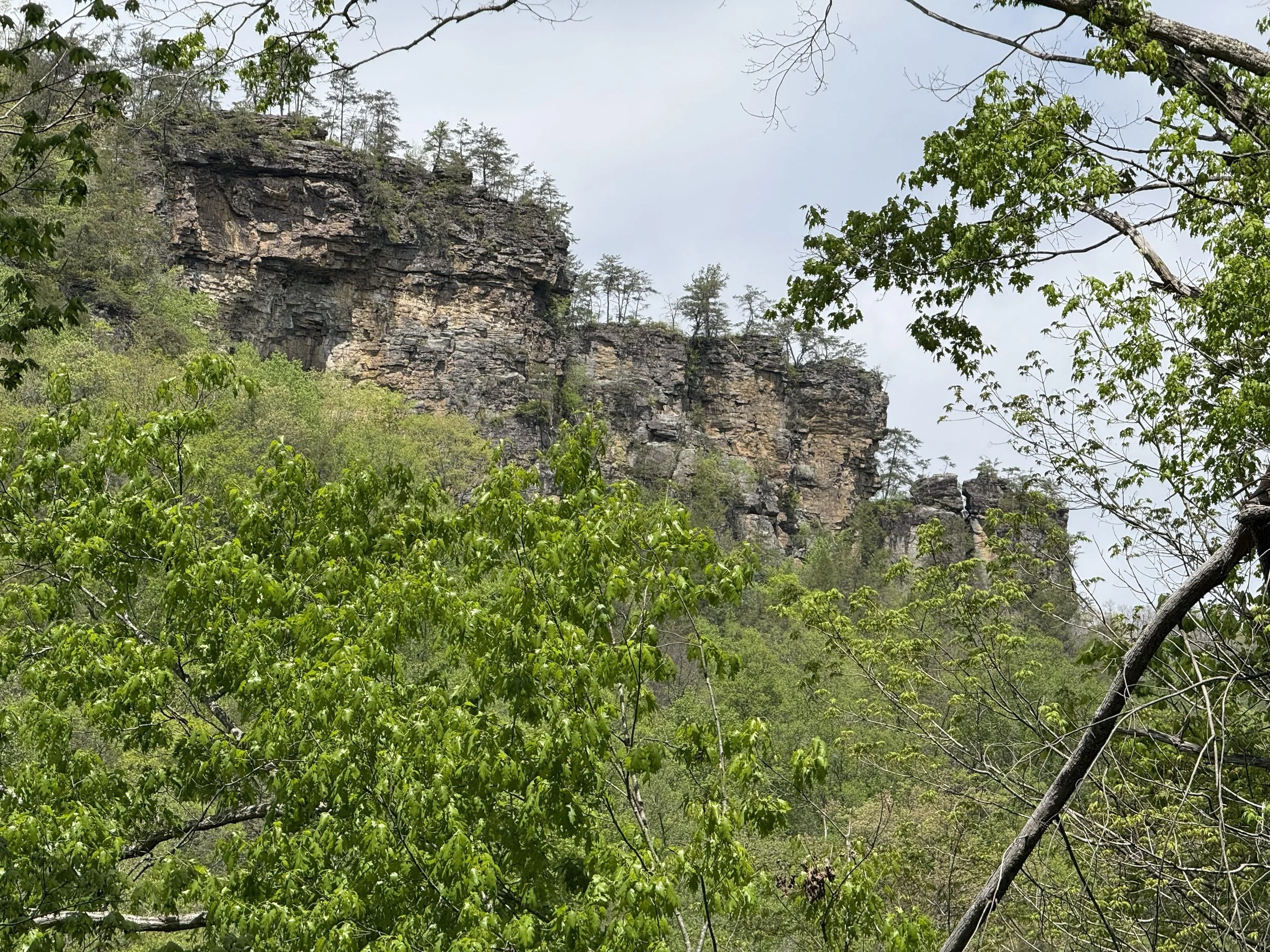
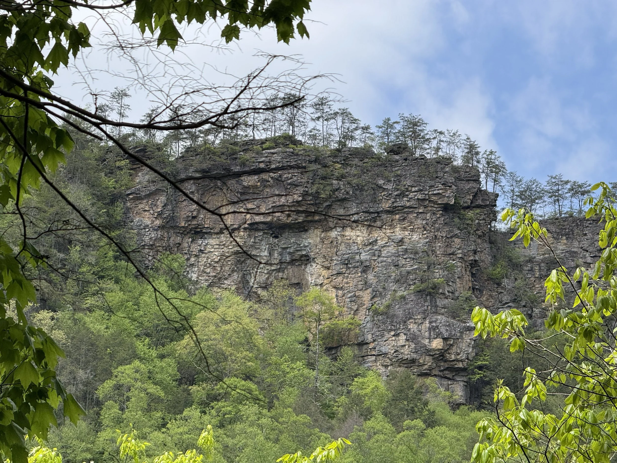
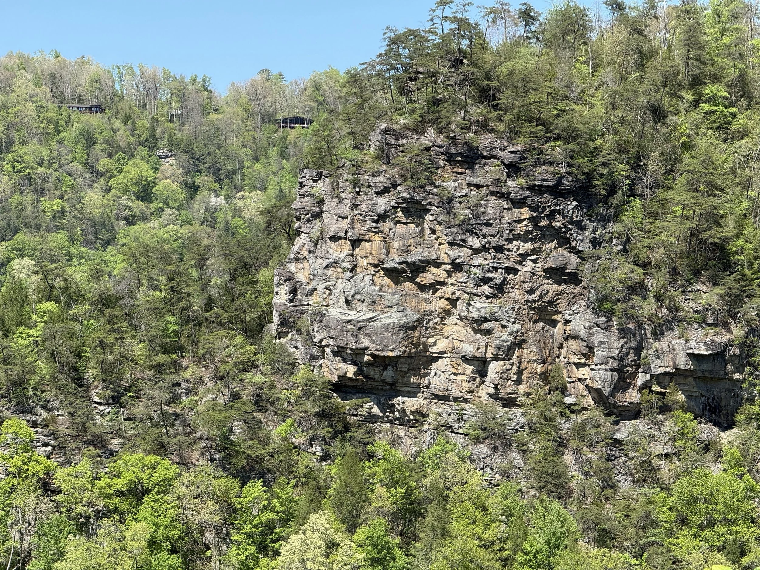
The original Camp Branch Trail begins along Garden Hole Road and descends approximately 0.5 miles to the Russell Fork River, following an old mule tramway once used to haul logs. This section features a steady downhill trek to the river, but hikers should be prepared for a challenging climb on the return. Along the way, visitors will encounter massive rock formations, remnants of a steam engine once used to power a logging hoist, and striking river-level views of the Towers and the Chimneys.
Forty-Eight Mule Mountain Section
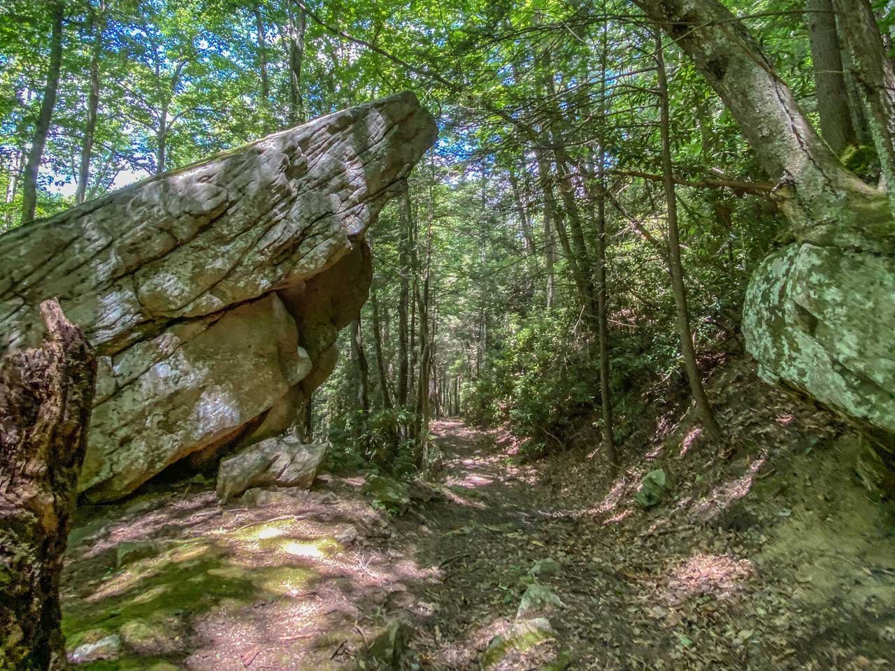
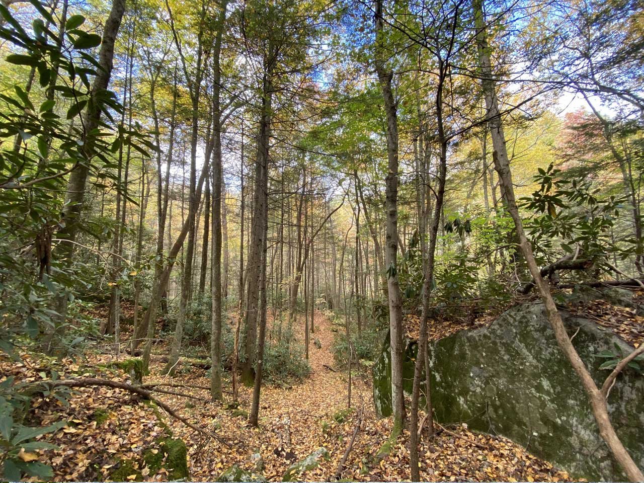
This section follows a 115+ year-old mule haul road used during the construction of the world’s largest splash dam at Bartlick, Virginia. The trail’s name honors the twelve four-mule teams that continuously hauled supplies from Elkhorn City, Kentucky, to Bartlick, Virginia, between April and November of 1909. The route climbs at a moderate grade along the mountainside above Camp Branch Creek, winding through mature Appalachian hardwood forests and lush cove habitats.
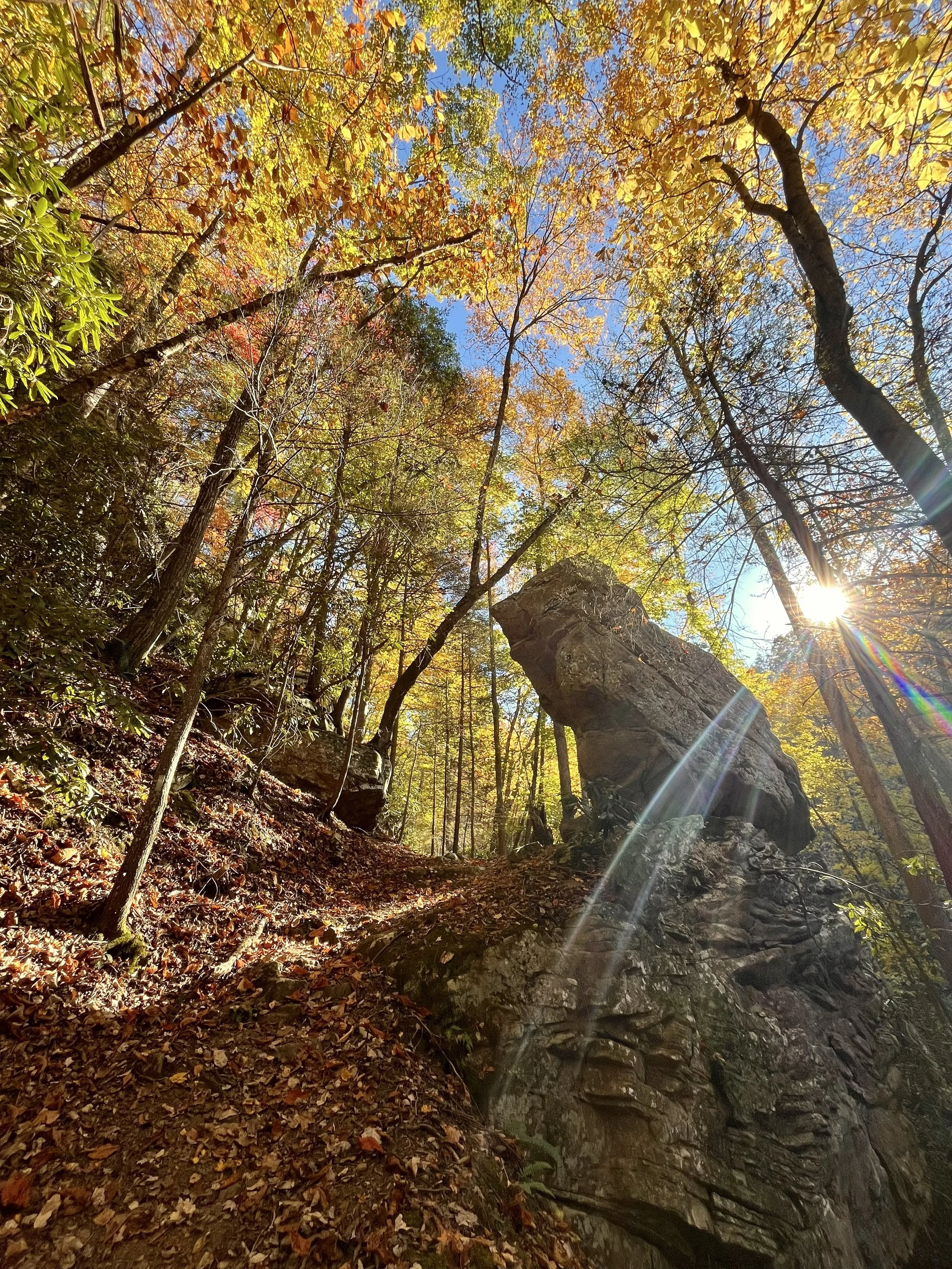
Camp Branch Overlook Section
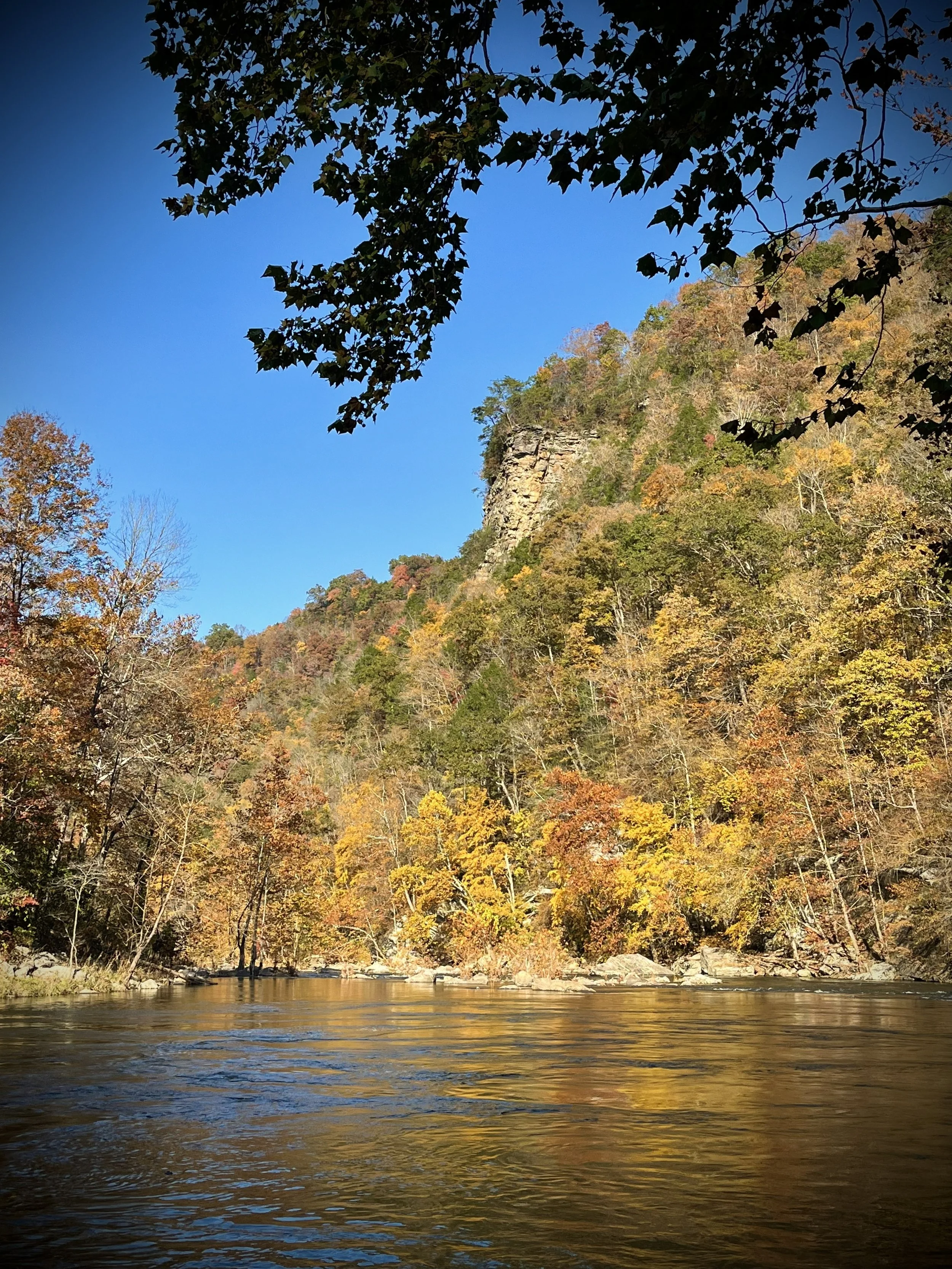
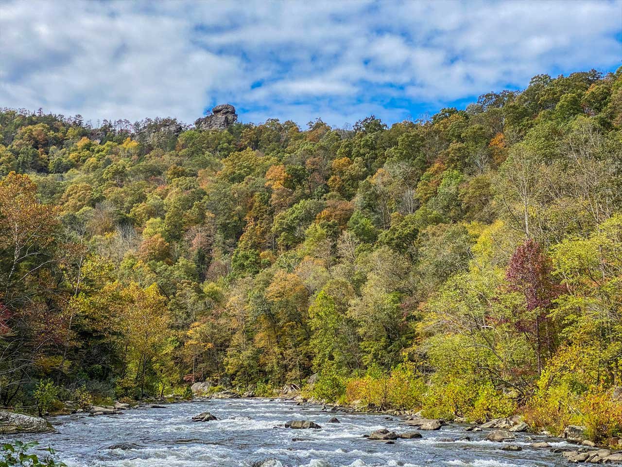
A newer addition, this 0.4-mile section follows a narrow ridge to a dramatic overlook perched along an unprotected cliff edge. From here, hikers are rewarded with panoramic views of the Towers, the Chimneys, and the Russell Fork River far below.
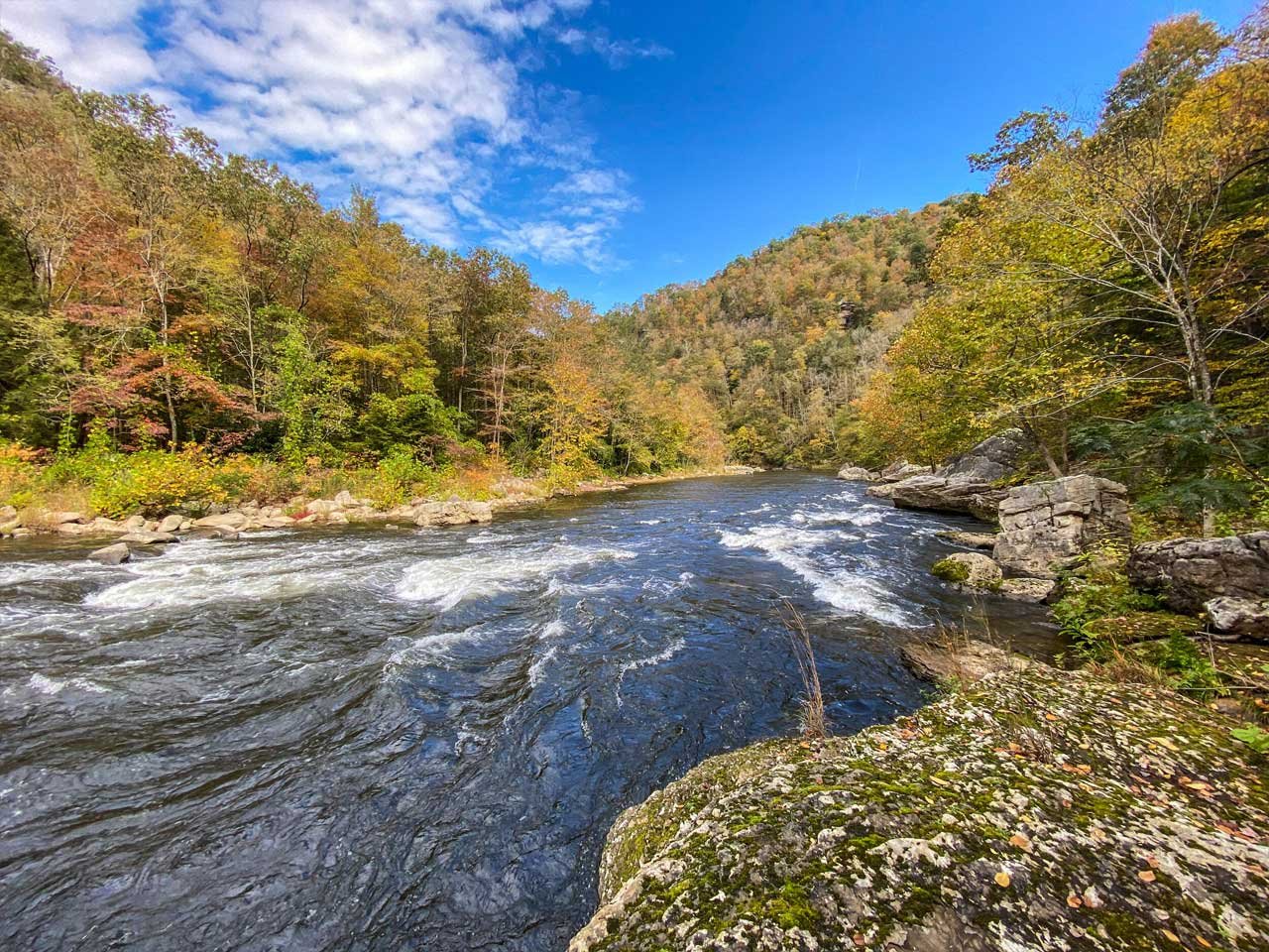
Camp Branch Landing (Spur Trail)
Located just off the Peavey Hook Pass section, this short spur leads to the historic Camp Branch log landing along the Russell Fork. The area offers excellent river-level perspectives of the canyon and a glimpse into the region’s logging past.
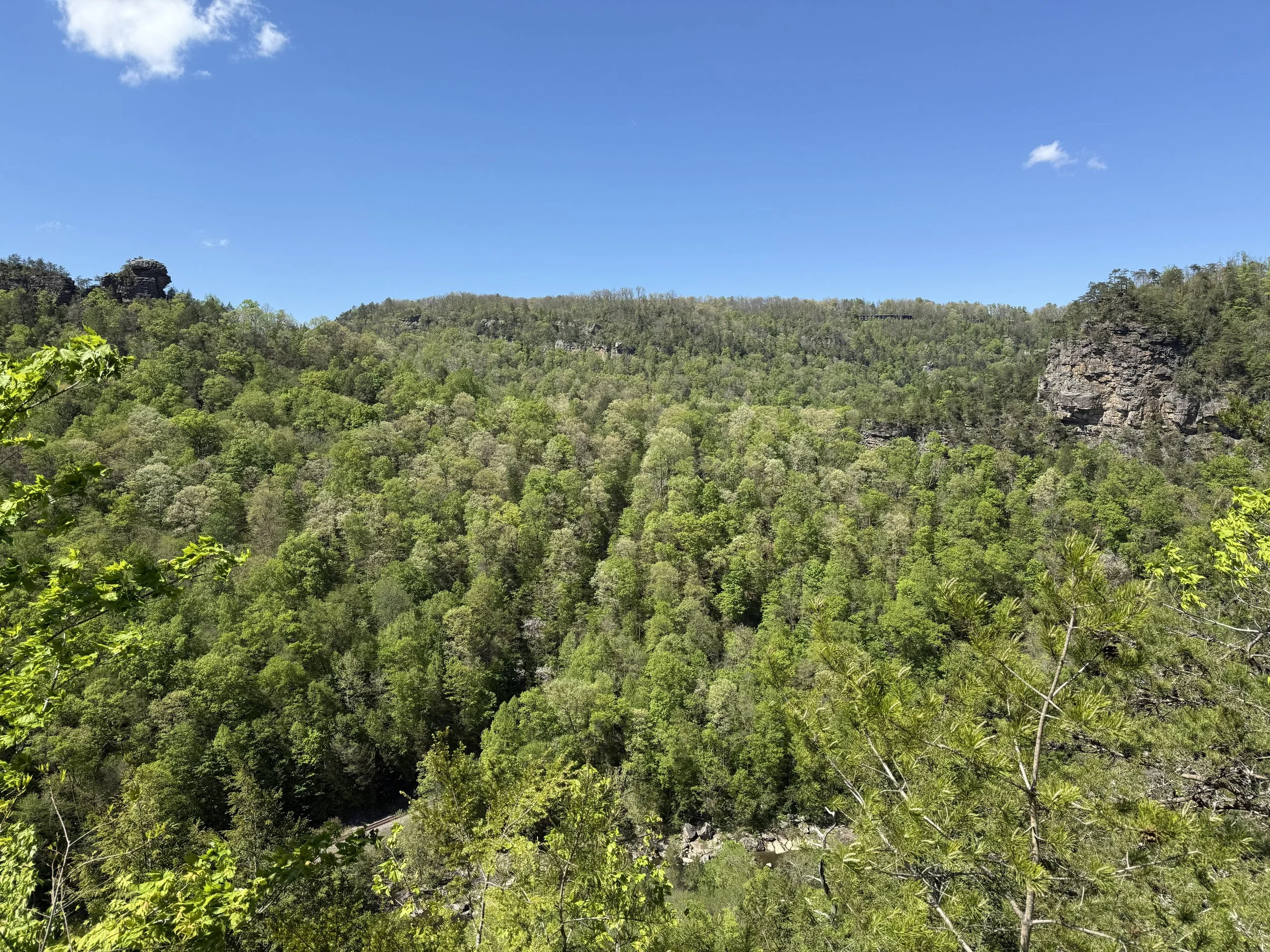
Peavey Hook Pass Section
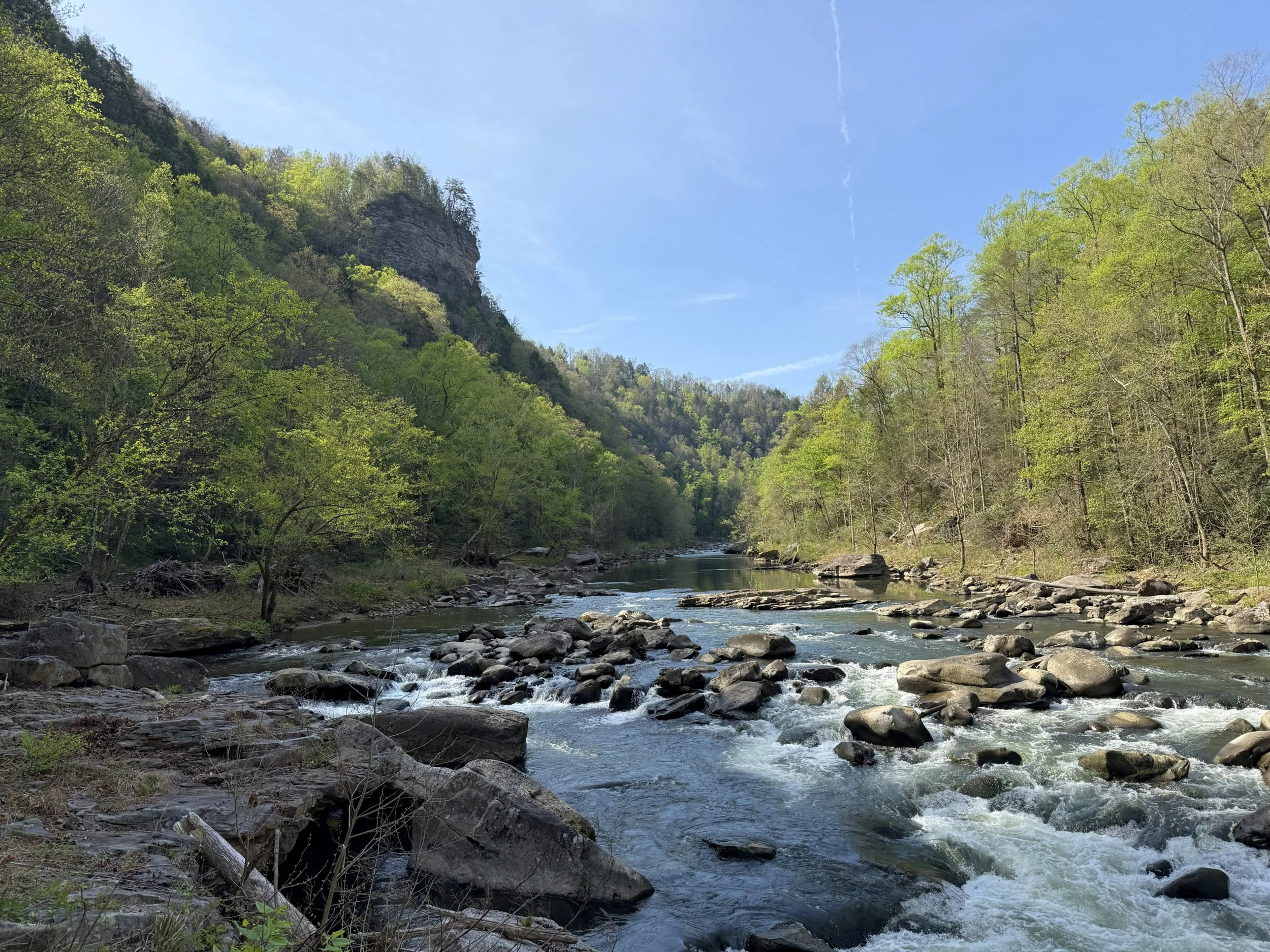
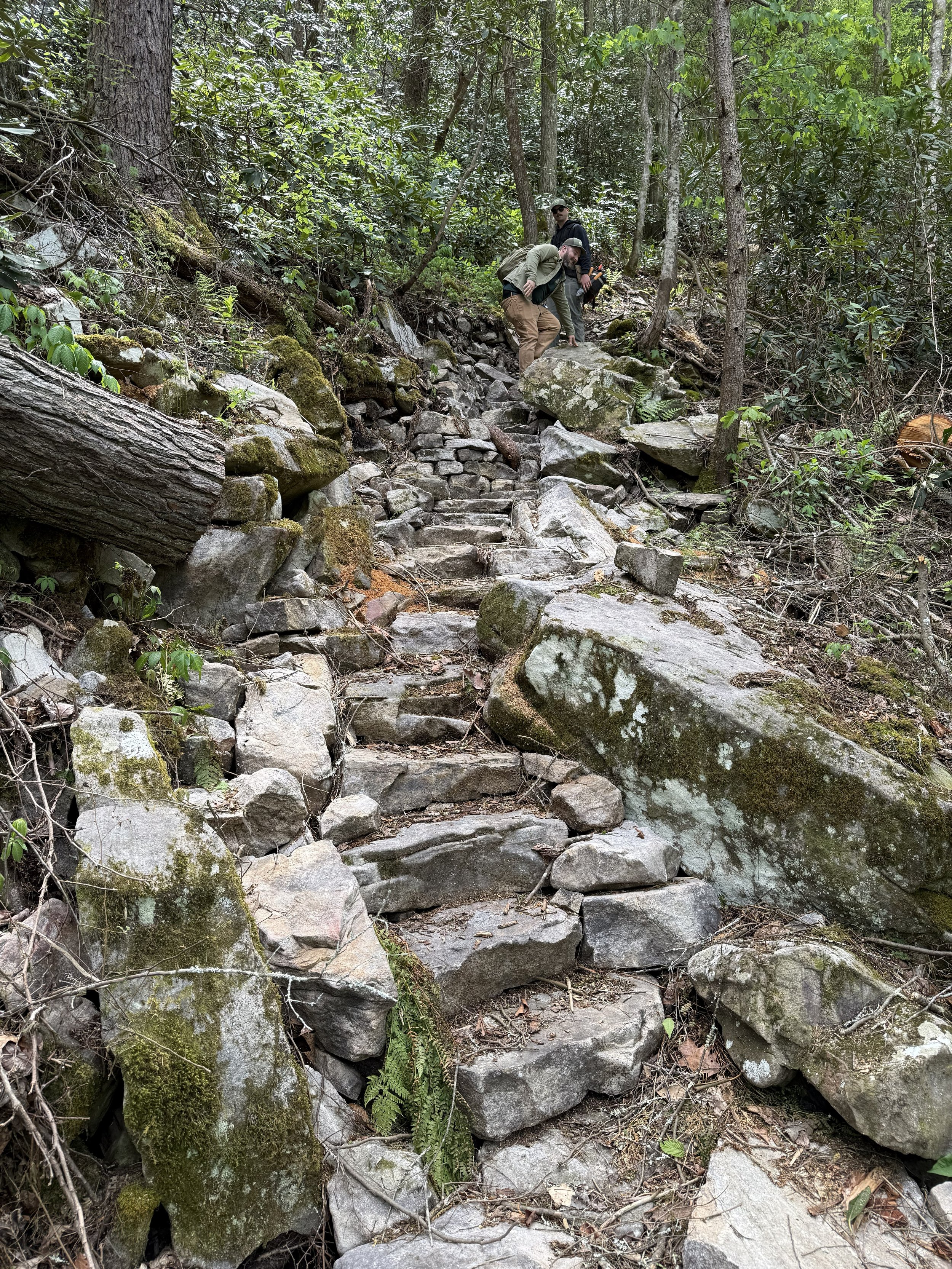
This strenuous and demanding section traverses a narrow bench carved between towering cliff faces. Named for the log drivers who once used the route to clear jams along the Russell Fork, the trail becomes progressively narrower as it descends, with the river rushing nearly 200 feet below. The section concludes with a steep, rocky descent to the river, followed by a strenuous climb out. This portion of the trail is not recommended for those with balance concerns or limited physical endurance.